

Divgrass
Grassland species
and ground-cover analysis.
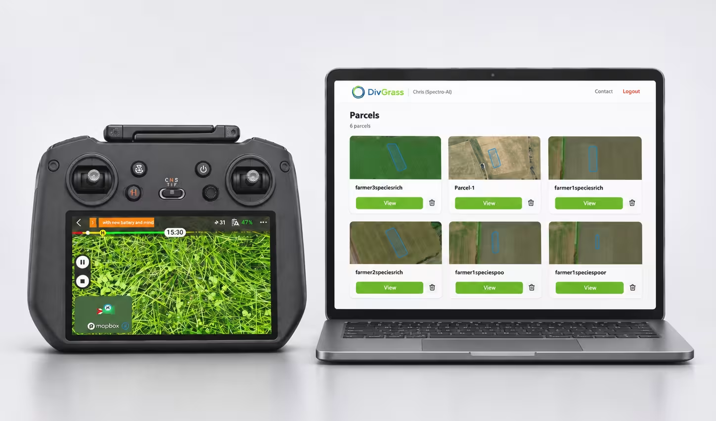
Drone imagery and AI-assisted image analysis for advisers, land managers and biodiversity research teams.

Identify recognised species.
Measure their coverage.
Divgrass separates recognised vegetation and ground-cover classes in drone imagery. A colour-coded segmentation and coverage breakdown help explain the composition of the surveyed image.
Use that evidence to focus field observations, discuss grassland management, or contribute to a biodiversity programme. Species coverage complements the assessment method and the local knowledge of your team.
The image and
its composition.

Coverage values are reproduced exactly from this example. They total 95.5%; the remaining 4.5% is not specified.
| Classification | Coverage |
|---|---|
| Trifolium spp | 65.8% |
| Grass | 11.4% |
| Soil | 8.8% |
| Taraxacum spp | 5.1% |
| Others | 1.9% |
| Ranunculus repens | 0.9% |
| Plantago | 0.6% |
| Rumex spp | 0.3% |
| Hypochaeris radicata | 0.3% |
| Cardamine pratensis | 0.2% |
| Chicorium intybus | 0.1% |
| Holcus lanatus bloom | 0.1% |
This is one image-specific example, not a complete supported-species catalogue. Recognition depends on model classes, vegetation visibility, growth stage and imagery quality. Coverage percentages alone do not provide a complete biodiversity assessment.
A survey designed
around your question.
- Before the flight
- Discuss locations, priority species, intended decisions and reporting detail. Agree suitable imagery and survey timing.
- During interpretation
- Review segmentation and class coverage alongside field observations and the programme’s assessment method.
- For repeat surveys
- Use compatible timing, capture conditions, class definitions and analysis methods so comparisons remain meaningful.
See Divgrass
in action.
An introduction to drone imagery, species insight and grassland management.
Watch on YouTubeThe wider Interreg North Sea DivGrass project explores species-rich dairy pastures, biodiversity and climate resilience, including drone-based monitoring.
Tell us about your grassland.
Share your locations, approximate area, target species and preferred survey period.