

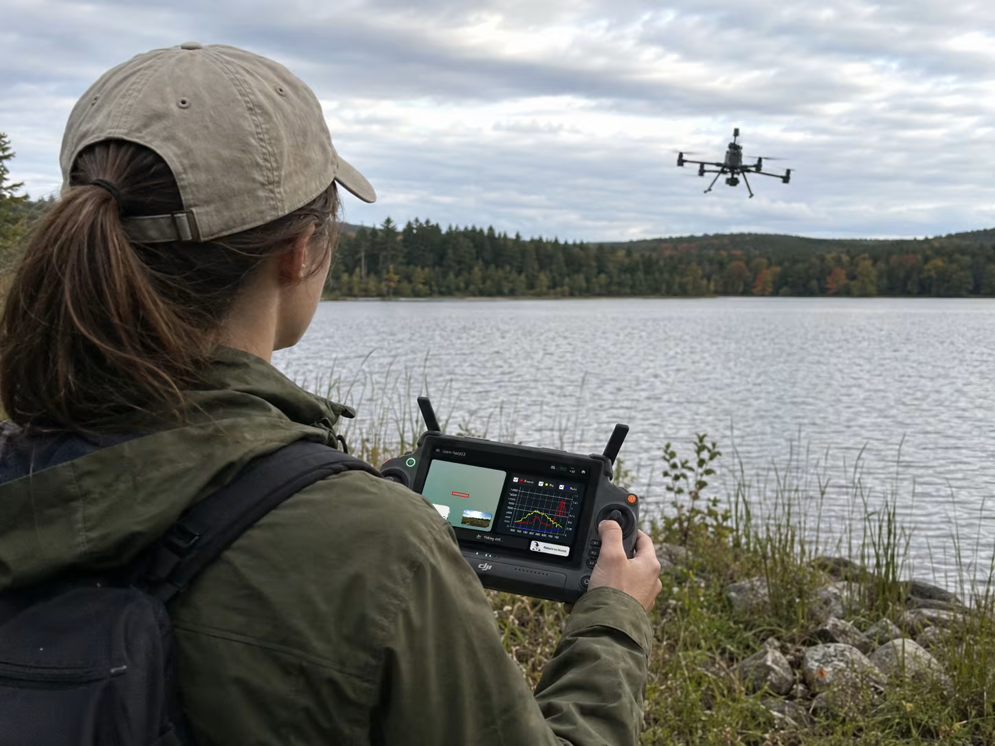
Hyperspectral mapping
Add spectral detail to field research and environmental surveys, from vegetation and soil to water and changing landscapes.
Visible differences are only part of the picture.
Hyperspectral sensing records how surfaces respond across the selected wavelength range. Combined with reference measurements and mapped output, it supports investigation of spatial variation that RGB imagery alone may not explain.
How it fits
your fieldwork.
Match the range.
Choose the sensor range, reference method and survey layout for the measurement target.
Capture with context.
Use area-scan planning, live spectral feedback and sky-reference measurements during flight.
Map and validate.
Process the mission into spectral maps, export GeoTIFF files and compare findings with field measurements.
Start with the
right information.
- Target material, vegetation or water question
- Wavelength range and required spatial coverage
- Platform, survey access and acquisition conditions
- Validation measurements and intended GIS outputs
Reflectance differences support investigation. A specific agronomic or environmental diagnosis needs a suitable method and validation data.
Replace with an approved map paired with its field reference. Add the survey date, legend and interpretation context.
Bring your field question.
We will help you define the monitoring, survey and reporting scope.